The Great Canadian Rush.
After leaving Friday Harbor we did a quick run to Reid
Harbor on Steward Island for a few days.
We knew it would be the last time our feet would hit dirt for a few
weeks. It was fun and we stopped at the
top of the hill to get shirts and other things for the kids at “The Treasure
Chest.” I also prepared all our documents for entry into Canada.
Our next stop was Canadian Customs at Van Ise
Marina. The dock is small, only enough
room for 2 boats at a time, yet the majority of the American boats heading
north stop here for clearance. We had to
wait our turn as we were 3rd inline. When a spot opened, we docked
the boat and then waited while the boat ahead of us was getting inspected. Full COVID protocols were in place. We
submitted our float plan, Passports and other documents. We were asked a series of questions like do
you have any firearms, pot, liquor and wine/beer. Once we declared everything, we were asked to
step off the boat. We were then asked if
we had anything else to declare. Then 2
officers entered our boat and looked in ever cabinet, nook and cranny. When
they were done, we were issued a clearance number to be posted on the port side
window. We were told we could NOT go to
shore other than to fuel. If our float
plan changed, we were to notify RMCP. We
could stop each night to rest in a bay, but could not go to shore. We were asked if we understood the rules.
They told us we would be watched and not be surprised if RCMP stops us on the
way to make sure we were following our float plan.
We then lowered our yellow quarantine flag and posted
our Canadian courtesy flag and off we go.
This process took about 45 minutes.
We still had time to make slack at Dodds Narrows and Nanaimo
anchorage. So, the race begins to get
through Canada as quickly as we could.
We figured 10 days. While
anchored in Nanaimo, the local police drove around our boat. I showed them the clearance card the Border
Patrol gave us. They gave us a thumbs up
and continued their patrol.
We left Nanaimo early.
This day would see a 93-mile run to Campbell River and the Gowlland
Harbor. We saw a whale in middle of the
channel which was exciting. We had to
slow down so we wouldn’t hit it.
The next challenge was Seymore Narrows. This is a set of water you must time at slack
tide. However, Environment Canada issue
a gale warning for Johnstone Strait that night.
So we stayed an extra day due to weather. The next day we ran the opening and was on
our way to Port McNeill for fuel. We
also had picked up some company, other boats that were making their way
north. It looked like I was leading a
flotilla! Just before Alert Bay we saw
some dauphins and another whale.
Normally we would stop and watch, but that would be considered
“Sightseeing” and that is not allowed, so we pressed on to Port McNeill. When we entered the bay I called North Island
Marina to arrange fuel. Once fueling was
completed, we moved to the bay and anchored.
The nest day is one of the not so fun crossing, Cape Caution.
The Cape Caution run to Pruth Bay is about 109
miles. Most of the time it is foggy,
which means calm seas. Today the
forecast was rain, fog with winds of 10kts and wave (swells) around 3 feet or
less. Once get out to the Pine Island
light house we are exposed to open water for about 30 miles or so. This condition creates “Beam” seas meaning
the waves hit you on the side and rolls the boat sideways, both ways. Nothing dangerous, just a little
uncomfortable. By 3 PM we were anchored
safely in Pruth Bay. Nice and calm and
we slept well. The next few days were
the same as the last. Drive from one
point to another point as fast as you can.
For us that is a normal cruise speed of 10mph. We stopped for the night in Shearwater anchorage. This was the only place we met resistance
from locals. Some guy got on the radio
and stated ‘All you American boats in the bay go home!! You are poisoning us on shore!” The Coast Guard was quick to respond and told
the guy to stop.
We did stop for the night at our favorite Northern
B.C. anchorage Khutze Inlet. This is the
place we would normally spend a few days at.
To us it’s magical. One time the weather was so nice and crabbing so
good we stayed for a week! Not this
time. One night only.
Another favorite stop over is Klunuggett Inlet. This anchorage is long and narrow. Completely calm, no matter what the weather
is on the outside. I really enjoyed my
scotch and cigar that evening, listening to the birds.
Finally, the last leg in Canada. Our next stop was going to be Dundas Island,
but if the weather was good, then we would make a run (25 miles) across the
famous Dixon Entrance to Foggy Bay Alaska!
As we were making our way past Prince Rupert (We did
not stop here), a RCMP stopped us and wanted to see our papers. They asked who was on board, the expected
date and time of exiting out of Canada.
They said “Thank You” and proceeded to check the next boat behind
us. They were busy that day.
When we reached the “Green Island” light house, Dixon
Entrance was nice and calm. I threw the
throttles forward and away we went! When
we crossed the border, I called Canadian Border patrol and informed them we
were exiting Canada. Then I called U.S.
Border Patrol to declare entry back to the USA.
We spent a quiet nice afternoon in Alaska.
The trip through Canada was 713 miles and took us 10
days to cross.
We are now in Ketchikan (K-Town) for a week. K-Town looks like a ghost town with no cruise
ships. Really sad to see. However, the big ships will start arriving in
July, so this will be a busy place once again.
We are resupplying the boat. I had some maintenance to do and I have
generator parts on order. Once we
receive the parts, we are outta K-Town and the hunt for salmon, shrimp and crab
begins!!
You can track us on our SPOT (https://maps.findmespot.com/s/CZSL/XW#history/assets)
and we will make a few posts on Facebook when possible.
I would like to say a SPECIAL thank you to Al and
Carol Johnson. They are the most awesome
hosts!! Love you guys, LOTS
 |
| Always love seeing the old woodey |
 |
| First ride in the fish killer machine |
 |
| ASD |
 |
| The fish machine Reid Harbor |
 |
| The trail from hell!!! Stuart Island |
 |
| A tow outside of Nanaimo |
 |
| Nanaimo B.C. |
 |
| Friday harbor Sunset |
 |
| Washington State Ferry |
 |
| Heading up Queen Charlotte Strait |
 |
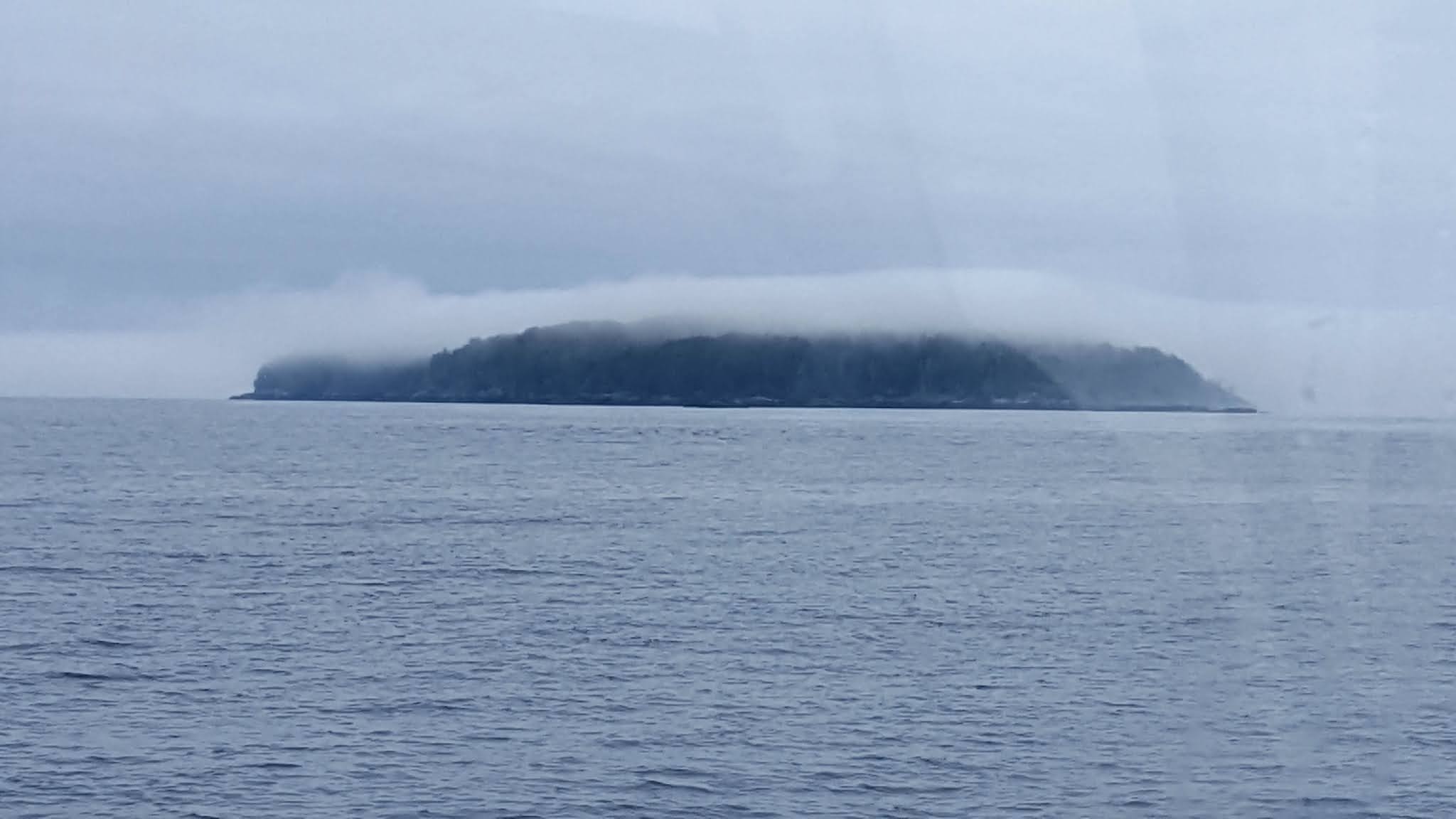
| There be whales here |
 |
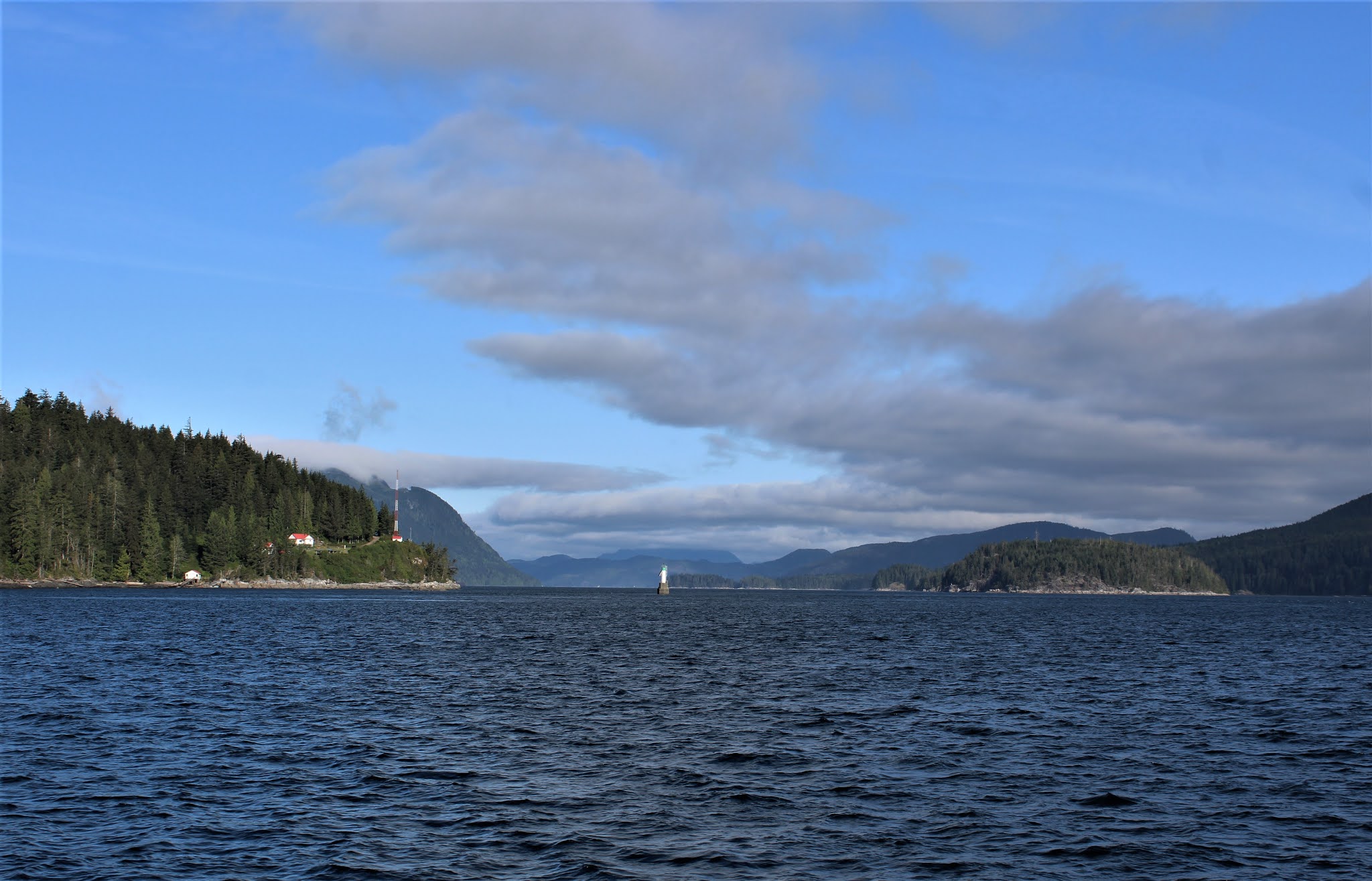
| Light House out of Port McNeill |
 |
| Towing Alaska supplies |
 |
| See The dolphins? |
 |
| Money going down the spout!!! Refueling in Port McNeill. |
 |
| Interesting boats |
 |
| Cap't Raven |
 |
| Alaska State ferry |
 |
| One of many many waterfalls |
 |
| Falls at Khutze Inlet |
 |
| Khutze Inlet. A magical place |
 |
| Butedale |
 |
| RCMP checking our documentation |
 |
| Green Island Light House next to Dundas Island near the Alaska Canada border |
 |
| Foggy Bay, Alaska |
 |
| Entering K-Town |